2
It is a visual representation of Earth's surface taken by an artificial satellite
4
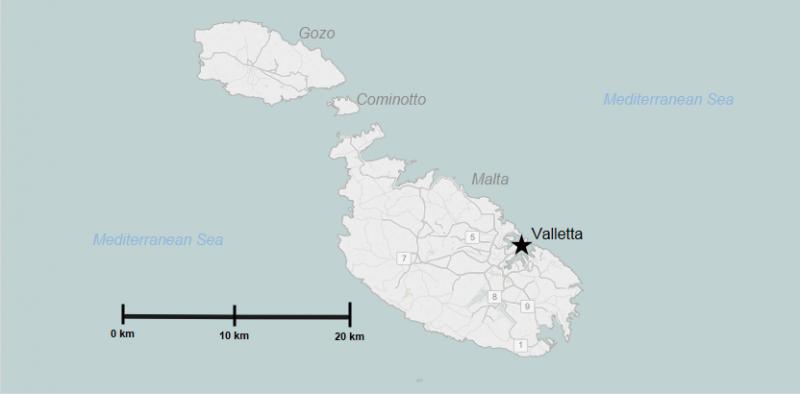
These maps show features that are created by humans, such as country boundaries and cities
5
It is the distance from any point on the Earth to the 0º Meridian
7
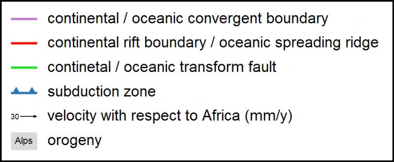
These maps provide information on a specific aspect and show how it is distributed across an area
8
It the distance from any point on the Earth to teh Equator
12
These maps show altitudes, mountains, rivers...
13
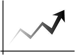
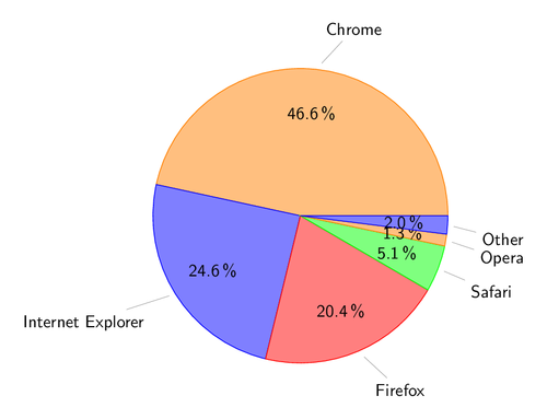
It uses geometric elements to visually represent a set of statistical data
14
It delivers georeferenced information or, in other words, data with a geographic reference point
15
It is a two-dimensional representation of the Earth's surface or part of it that is measured to a scale
17
Geographic Information Systems